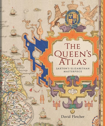
In mid-Tudor England, maps were rare treasures, unlike today’s ready availability. Everything changed in 1579 when Christopher Saxton, a farmer from Yorkshire, created the first published atlas of all English and Welsh counties. This book traces Saxton’s extraordinary mapmaking journey, highlighting the vital support he received from Queen Elizabeth I and her court. Saxton’s atlas shaped detailed mapping for nearly two centuries, offering many their first true image of England and Wales.
| ISBN | 9781851246205 |
|---|---|
| Format | Hardback |
| Publisher | BODLEIAN LIBRARY |
| Dimensions | 21 × 25 cm |